But what exactly is an orthophoto, and why does it matter for drone mapping?
What is an orthophoto?
An orthophoto, also known as an orthomosaic, is a georeferenced, aerial image that has been corrected for lens distortion, camera tilt, and topographic relief. Unlike a standard aerial photograph, an orthophoto has a uniform scale, which means you can take accurate measurements of distance, area, and features directly from the image. This makes orthophotos an essential product of modern drone mapping software.How Are Orthophotos Created with Drone Mapping Software?
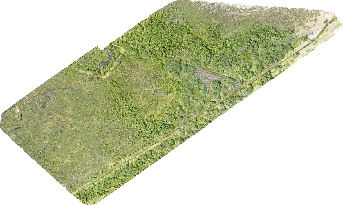
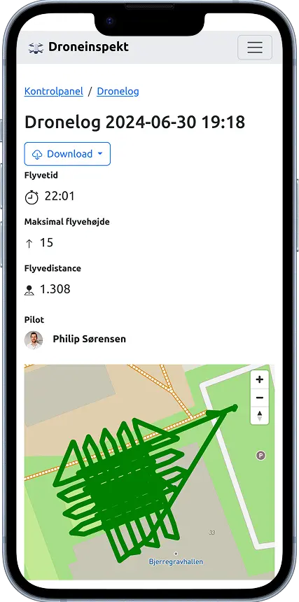
The process starts with a drone flight where hundreds, sometimes thousands, of overlapping images are captured from above. These images are then processed by advanced drone mapping software using photogrammetry. The software stitches the images together and corrects distortions to create a seamless, high-resolution map.The result is an orthophoto that offers a bird’s-eye view of the landscape, with geographic accuracy down to a few centimeters—depending on the drone and software used.
Applications of Orthophotos in Drone Mapping
Orthophotos are widely used in industries like:- Construction and Engineering
To monitor progress, measure volumes, and plan projects with accurate site maps. - Agriculture
For crop health monitoring, field mapping, and precision farming. - Land Surveying and Real Estate
To produce up-to-date maps for land assessment and property development. - Environmental Monitoring
To track changes in natural landscapes and manage conservation projects.

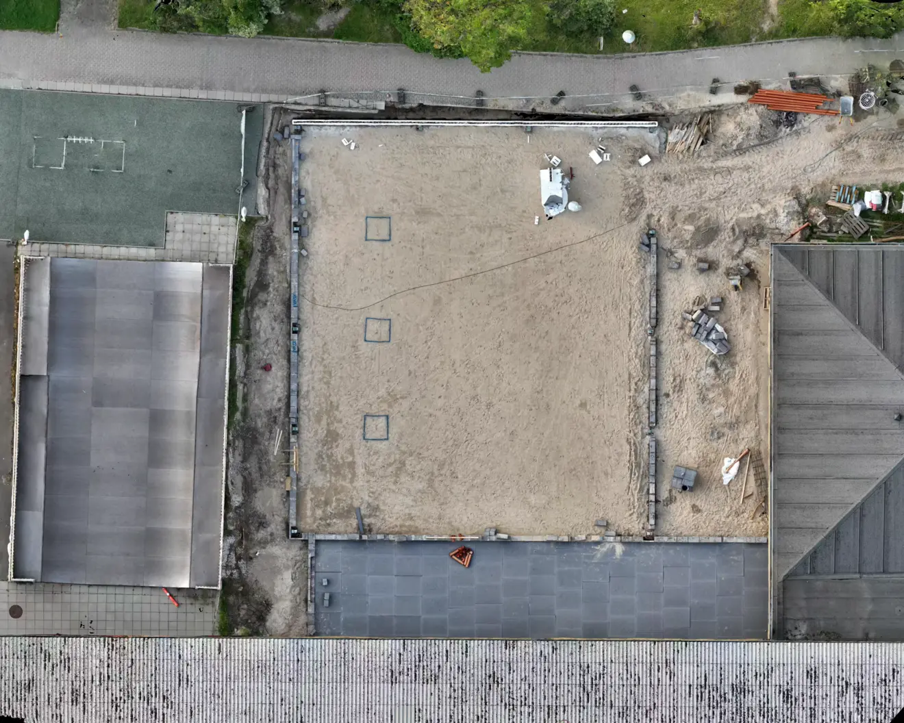
Orthophoto from a construction site.
Compare Orthophotos Across Inspections
Once you’ve added multiple inspections to the same project, you can easily compare orthophotos and track changes over time. Our platform lets you overlay two orthophotos and use an interactive slider to visually slide between them and identify differences and changes.This is especially useful for:
- Condition monitoring
See how a building façade, roof, or natural area has changed between inspection dates. - Quality assurance
Compare before-and-after images to document repairs or improvements. - Change analysis
Spot changes that may require action, such as wear, damage, or vegetation growth.
Comparison of orthophotos from two drone inspections using a before-and-after slider to show visual changes in the same area over time.
Drag & Drop. Process. Done.
Creating high-quality orthophotos has never been easier. With our intuitive drag-and-drop uploader, you can go from raw drone images to precision-stitched orthophotos in just a few clicks.How it works:
-
Upload Your Drone Images
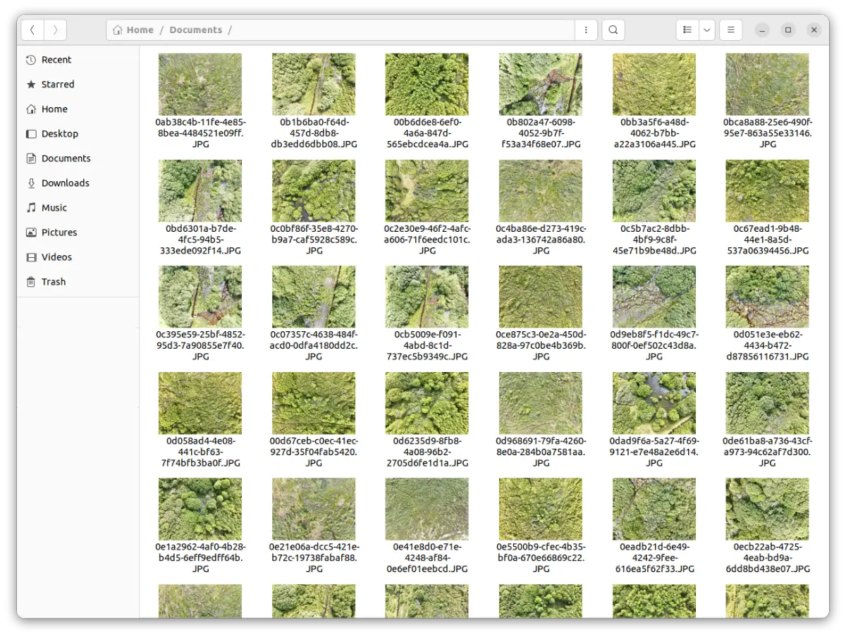
Simply drag your photos directly into the platform. We support images from most drone models and cameras. -
Automatic Processing
Our system takes care of the heavy lifting—aligning, stitching, and generating an accurate orthophoto, all in the cloud. -
Download & Share
Once processing is complete, download your orthophoto or share it instantly with your team or clients.


Ready to elevate your mapping projects? ✈️
With our platform, creating sharp, geo-referenced orthophotos is as easy as uploading your drone images. Perfect for surveying, construction, and inspections.Generate your first orthophoto
